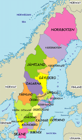
Political Map of Sweden
Physical Map of Sweden
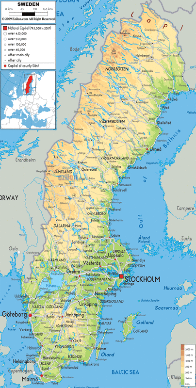
Sweden is divided into 21 provinces or counties. The capital of Sweden is Stockholm which is on the coast of the Gulf of Bolhnia The entire country is at relatively low level of elevation. There are many bodies of water such as rivers and lakes, one of the larger ones being lake Vanern.
Political Map of The Democratic Republic of Congo

Physical Map of The Democratic Republic of Congo

The Democratic Republic of Congo is divided into ten provinces. Each province has a chief city labeled with a red dot. There aren't many large lakes in the DRC, but there are rivers that run through the whole country. Names of the rivers are; River Congo, Kasai, Lomami, and Tshuapa. The national capital is Kinshasa, which borders the River Congo. The altitude in the country ranges from 0-4000 meters.
